Monitoring and Forecasting Information
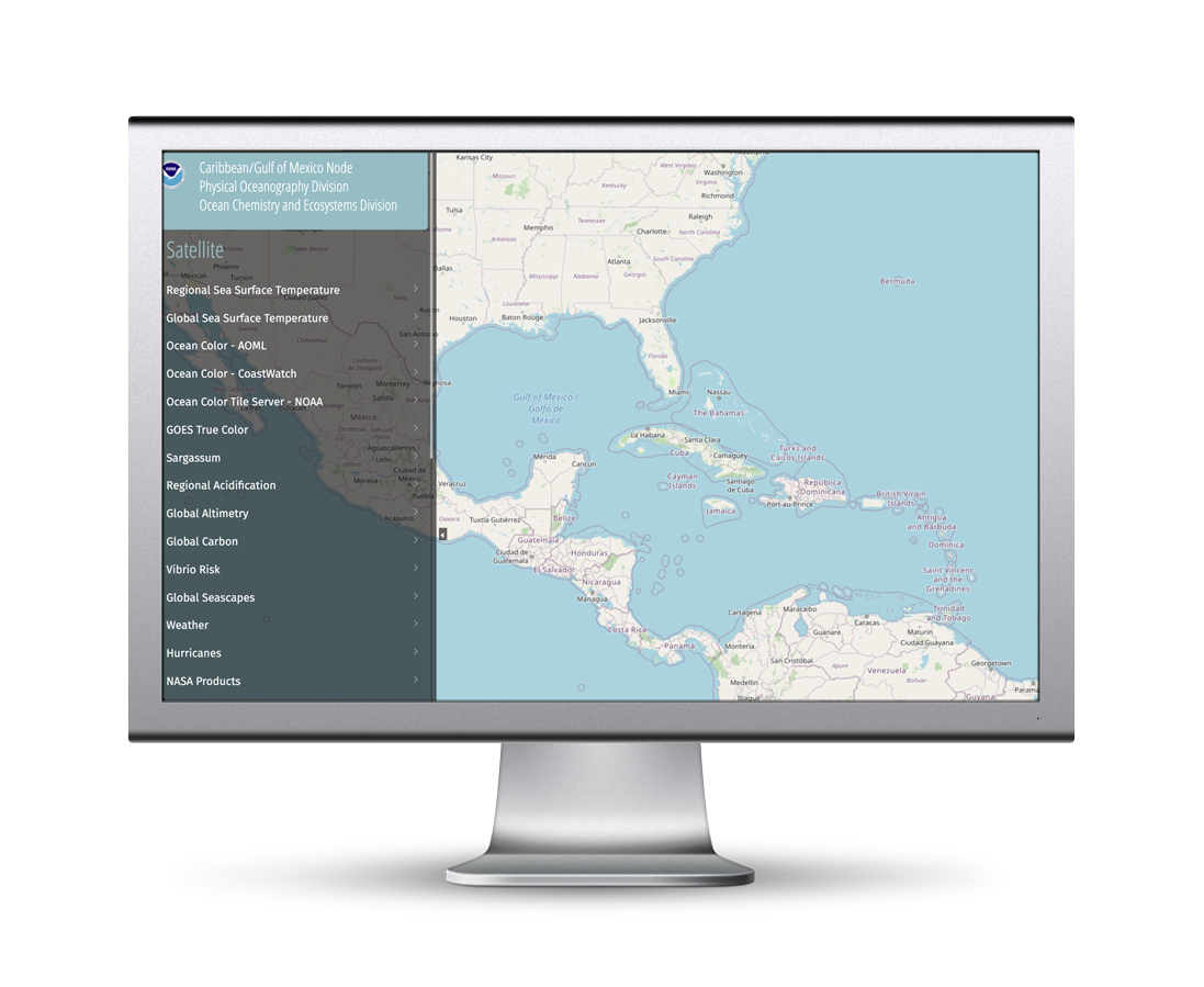
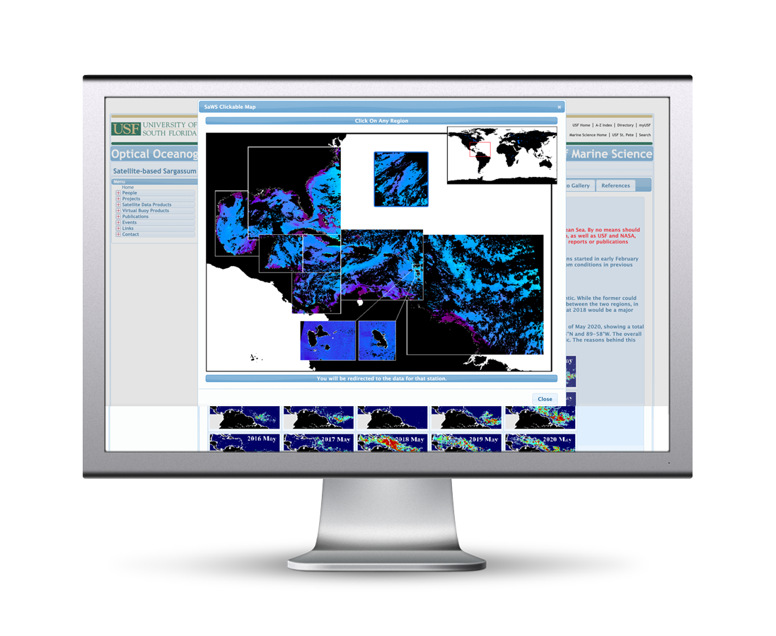
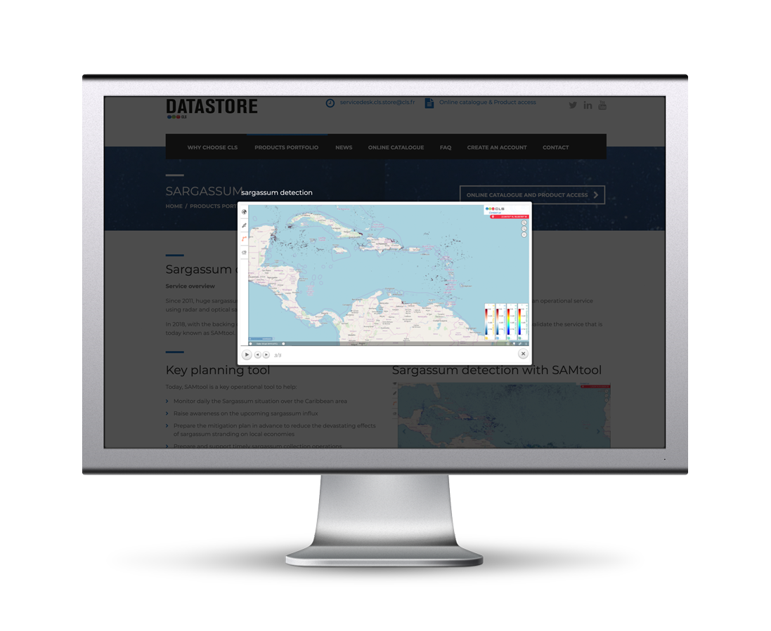
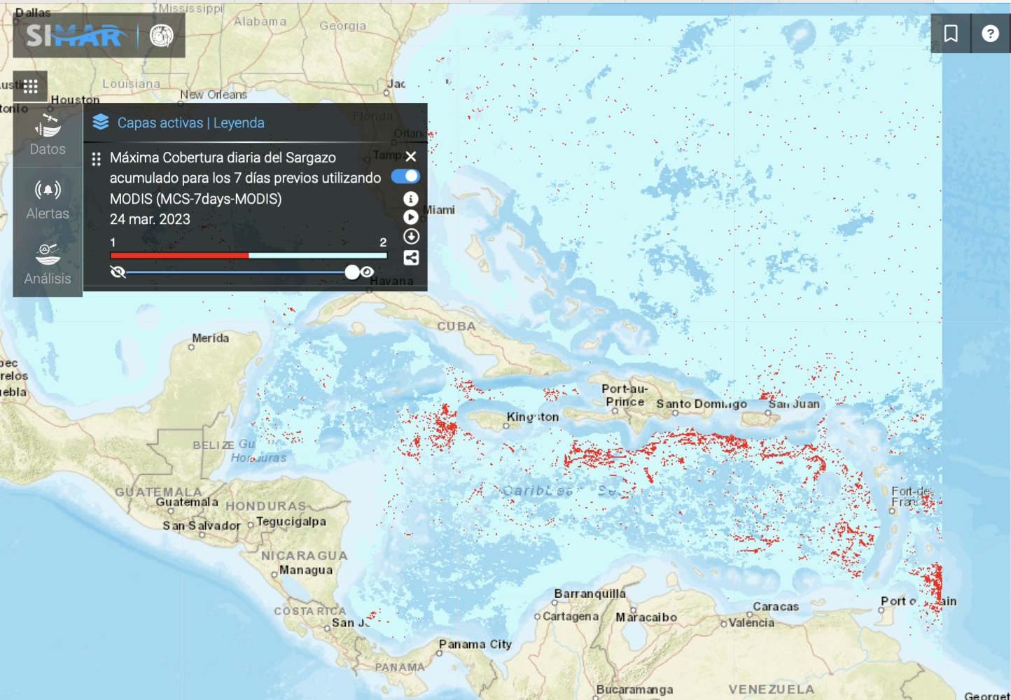
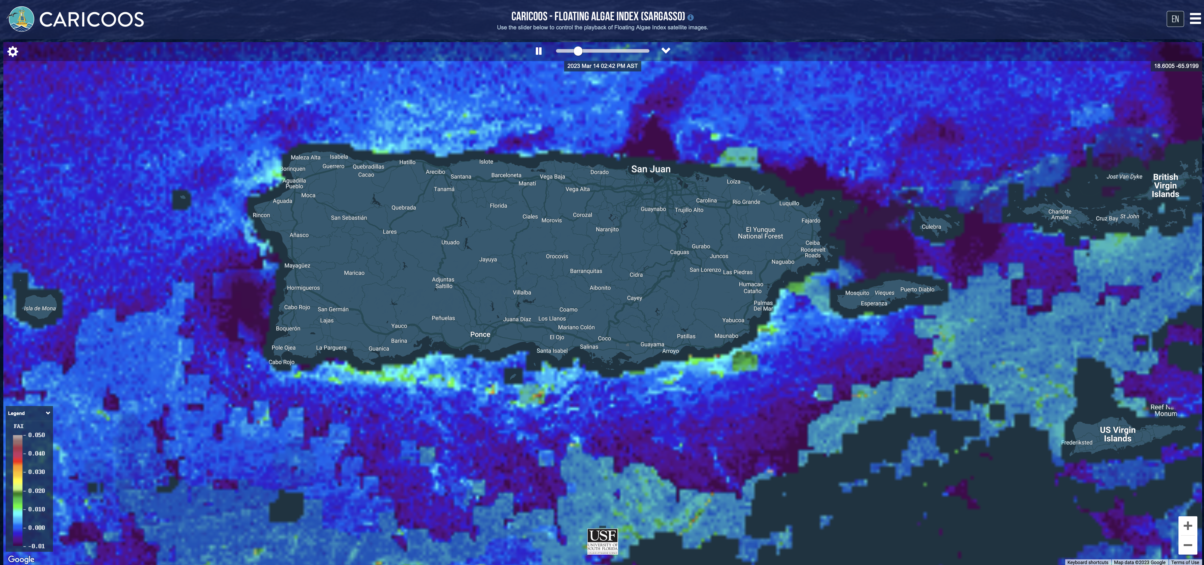
Detecting, modelling and forecasting of floating Sargassum are essential for designing effective integrated risk management, mitigation and adaptation strategies. Thanks to the US and European Copernicus Earth Observation programmes, there has been significant progress in global remote detection of floating Sargassum. Satellite detection of floating Sargassum relies on specific algorithms, which capture wavelengths of reflected light associated with the presence of Sargassum in the signal received by the on-board sensor. Today, the following instruments provide ocean colour products and other data products that allow detection, quantification and tracking of Sargassum mats over large regions:
- MODIS (Moderate Resolution Imaging Spectroradiometer), onboard the Aqua & Terra satellites
- OLCI (Ocean and Land Colour Instrument), onboard the Sentinel-3 (A & B) satellites
- MSI (MultiSpectral Instrument), onboard the Sentinel-2 (A & B) satellites
- ABI (Advanced Baseline Imager), onboard the GOES-16 satellite
- OLI (Operational Land Imager) onboard the Landsat-8 satellite and
- VIIRS (Visible Infrared Imaging Radiometer Suite), onboard the Suomi NPP and NOAA-20 satellite
At the same time, these observations contribute to better understanding of transport, growth and decay properties of the mats, and provide long time series to investigate trends and variability patterns.
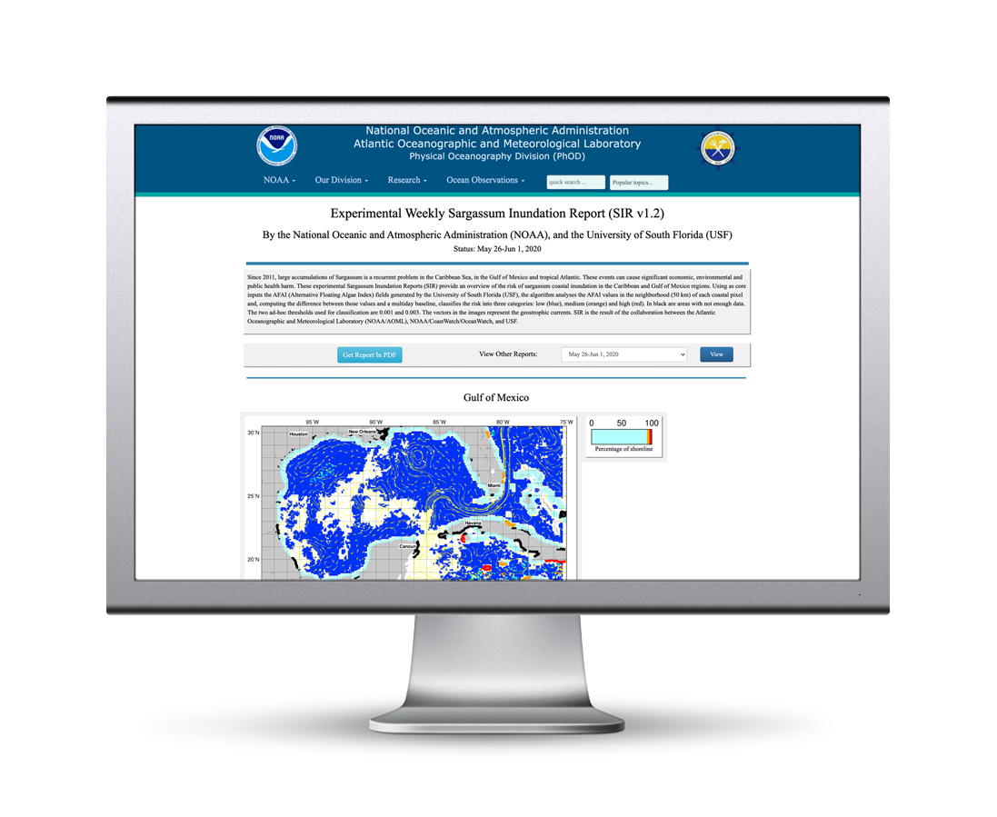
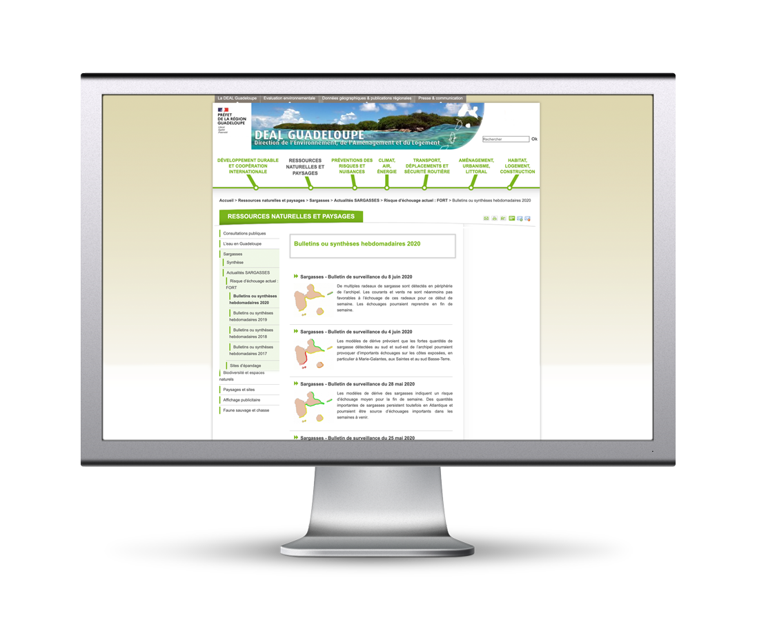
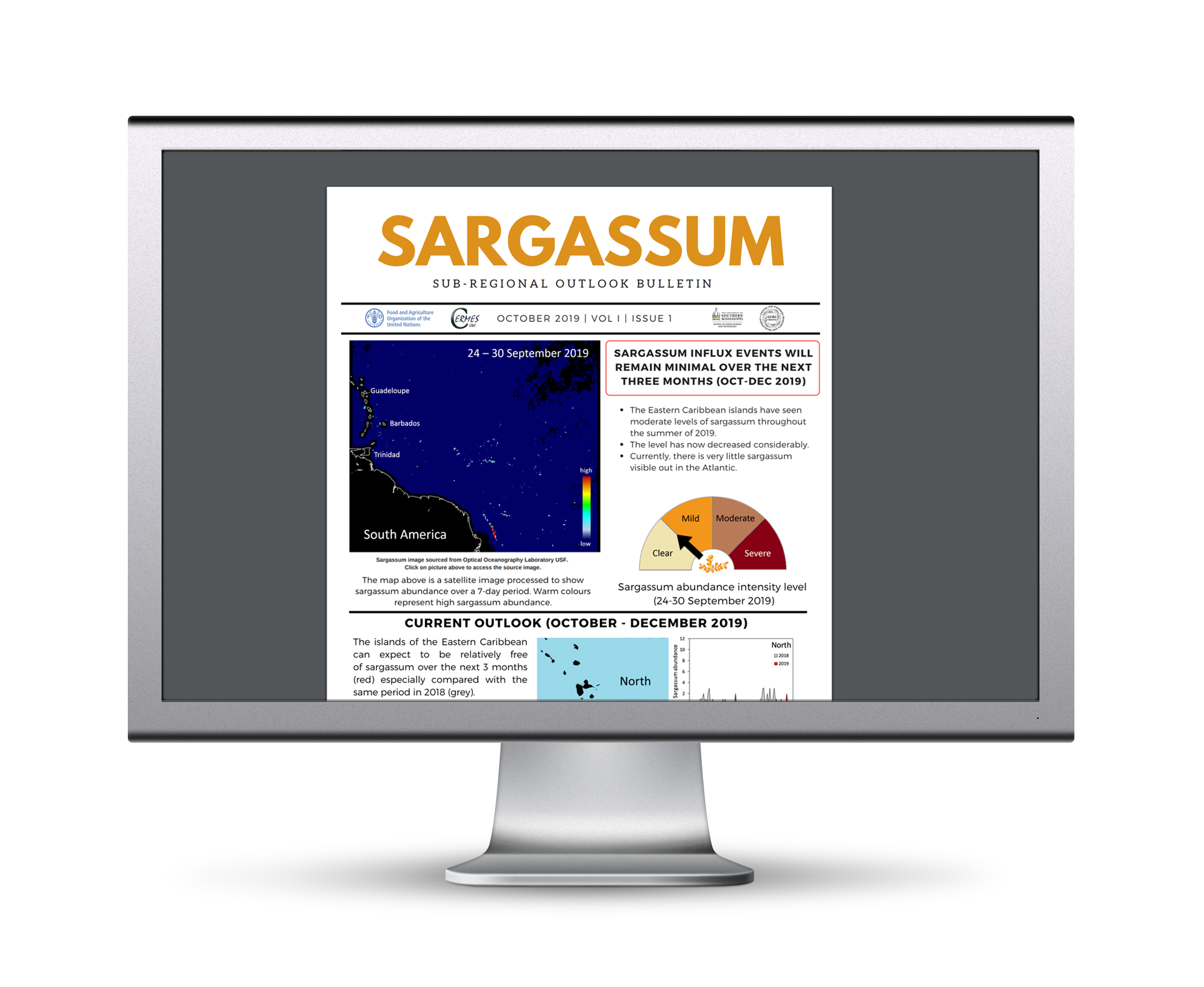
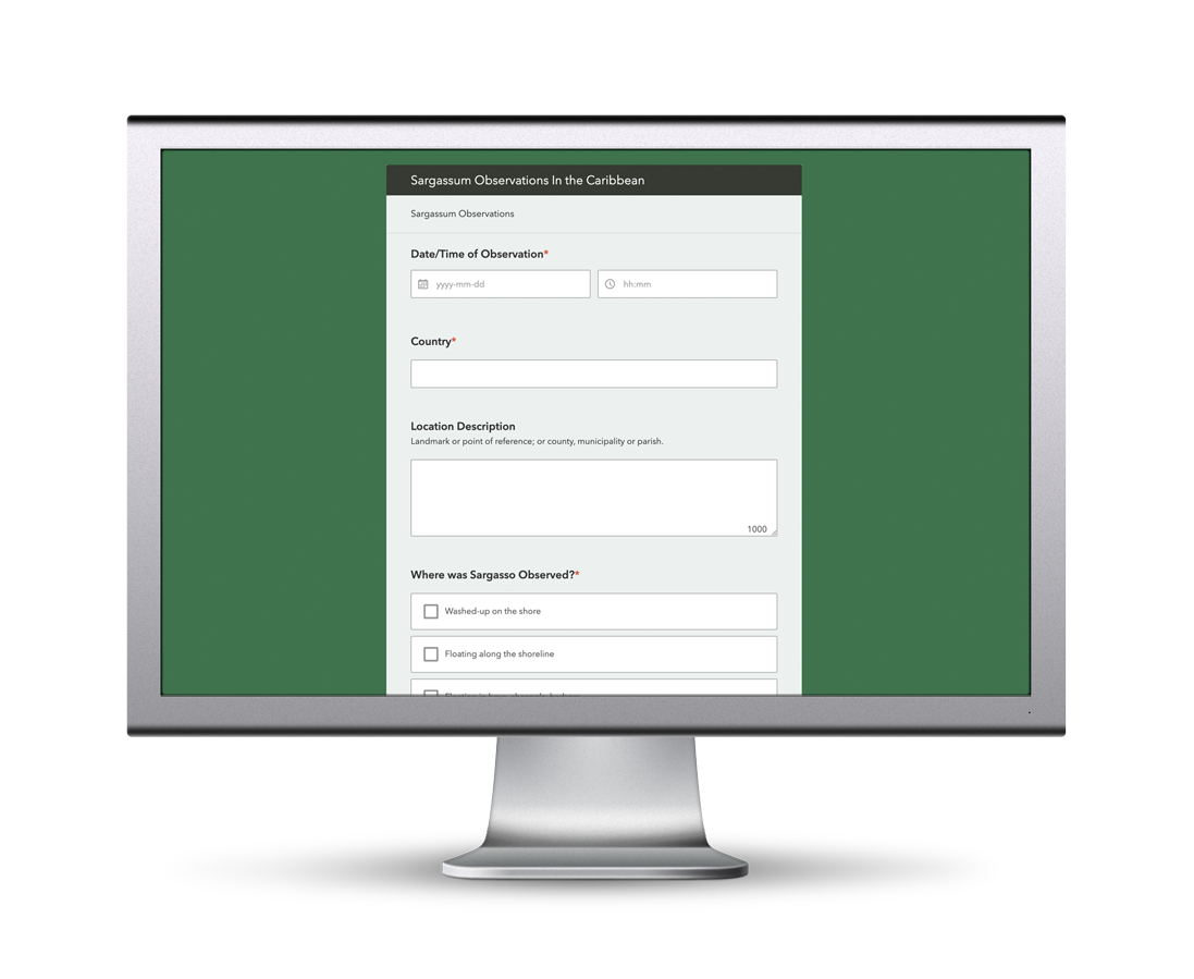
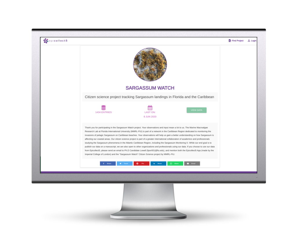
Modelling of Sargassum transport and physiology helps clarify the link between Sargassum distribution and environmental conditions and provides the groundwork for short-term and seasonal forecasting at the scale of the tropical Atlantic basin. Once a Sargassum mat is detected by satellite, its latitude and longitude combined with a drift model can be used to forecast the movement of the mat and possible beaching time – in essence, the basis for an early warning system. The drift model combines meteorological modelling (wind forecasts), hydrodynamic modelling of ocean currents, and can include a growth-decay model of the Sargassum biomass for seasonal applications. The model is fed with past and current satellite observations of Sargassum combined with in-situ information on previous Sargassum inundation events. Observations and short-term modelling are essential for early warning systems and mitigation guidance, whereas long-term monitoring and forecasting of Sargassum (seasonal to interannual) is vital for coastal planning and management, and investment decisions regarding clean-up strategies, harvesting technologies and the development of value-added commercial products.
