Sargassum Story Maps
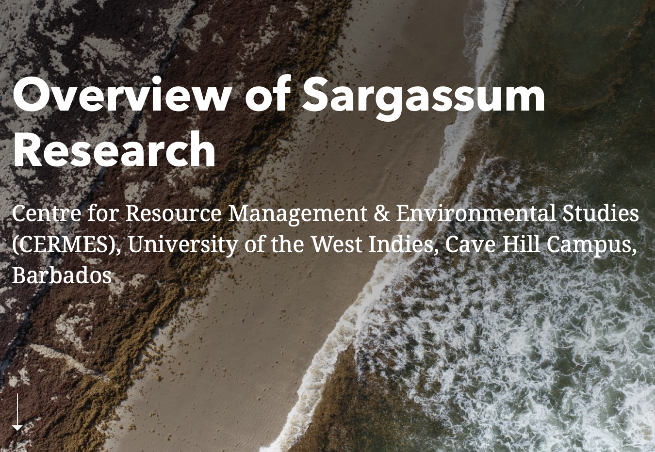
Overview of Sargassum Research at UWI-CERMES
A series of interactive ArcGIS StoryMaps have been developed to highlight the sargassum-related research taking place through SargAdapt, MoniSarg and SARTRAC projects. So far, we’ve published stories about monitoring, forecasting and management of sargassum influx events – with more stories to come! Learn more about our methods, project progress and other exciting tidbits worth sharing. Visit the Landing Page below and browse the stories today!
